
PIVOT: Physically Informed Vision-Language Off-Road Traversability for Field Robot Navigation
Aoran Jiao, Wenda Zhao, Hshmat Sahak, Timothy D. Barfoot · N/A · 2026
Framework
N/A
License
N/A
Stars
N/A
Summary
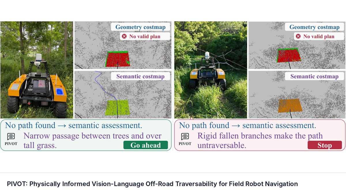
Terrain assessment is a critical capability for off-road mobile robots, enabling safe and reliable navigation through unstructured and geometrically complex environments. Conventional geometry-based terrain assessment is fast to compute but often overly conservative in unstructured environments.
Abstract Summary
Key Points
- Terrain assessment is a critical capability for off-road mobile robots, enabling safe and reliable navigation through unstructured and geometrically complex environments.
- Conventional geometry-based terrain assessment is fast to compute but often overly conservative in unstructured environments.
- We present PIVOT: a Physically Informed Vision-Language Off-Road Traversability navigation system that augments conventional geometry-based planning with vision-language-model (VLM)-based semantic reasoning for field robots.
- To physically ground this assessment, we quantify how strongly the VLM's predicted traversal energy cost, robot vibration, and wheel slip correlate with real-world measurements and introduce a unified traversability score that weights each modality by its prediction-measurement correlation.
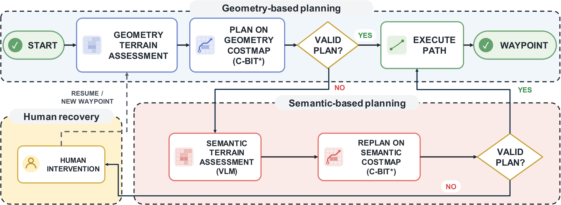
- For efficiency, we design a two-level navigation architecture that retains geometry-based planning as the nominal mode and invokes semantic replanning only when that mode fails to find a path.
Methodology
The proposed system diagram is shown in Figure 2 . We adopt a two-level navigation architecture in which geometry-based planning serves as the nominal mode and VLM-based semantic reasoning provides a fallback when geometric planning cannot identify a feasible path. Both levels operate on a local costmap constructed from the LiDAR observations.
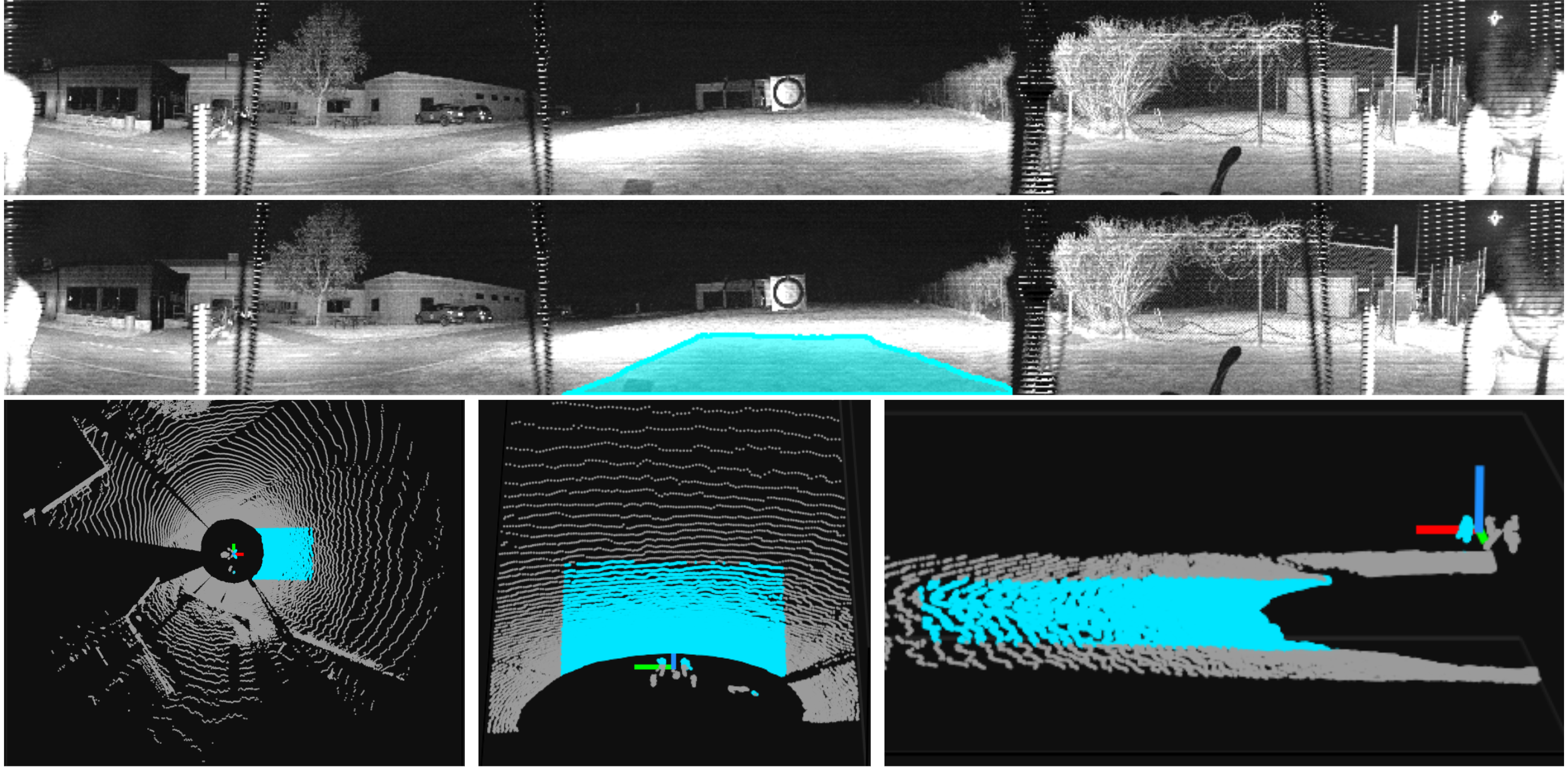
The nominal geometry-based terrain assessment constructs a local traversability costmap directly from the LiDAR point cloud.
Experiments
In this section, we present an offline evaluation of the proposed physically grounded terrain assessment and a comprehensive online closed-loop evaluation of PIVOT.
Using an extensive offline dataset, we first establish positive correlations between the three VLM predictions and their corresponding physical measurements, as well as a positive correlation between the proposed traversability score and a reference score obtained by averaging the three normalized measurements.
Sources and Demonstrations
Figures are reproduced from Jiao et al. See the full paper for experimental details and the project page, when the paper links one, for demonstrations and videos.
Related Papers
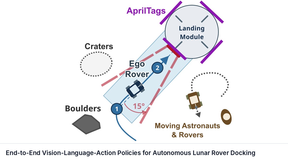
End-to-End Vision-Language-Action Policies for Autonomous Lunar Rover Docking
Sitan Huang, Grace Gao
Surface navigation on the Moon is subject to extreme illumination contrast and deployment-time perceptual disturbances.
Evidence-Gated Task and Motion Planning with Vision-Language Models
Tsunehiko Tanaka, Matthew Stephenson, Alistair Macvicar et al.
Robots executing long-horizon manipulation tasks from natural-language instructions must reason about both semantic task structure and geometric feasibility. However, under partial observability, the availability of goal-relevant objects may be uncertain.
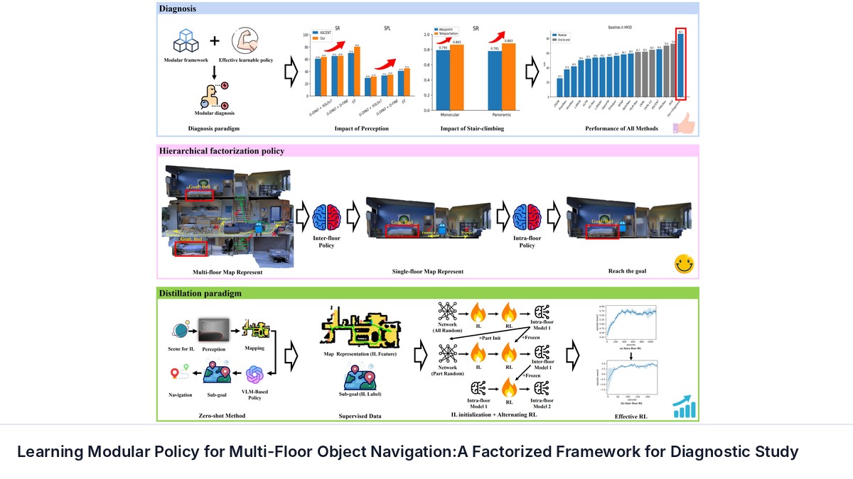
Learning Modular Policy for Multi-Floor Object Navigation:A Factorized Framework for Diagnostic Study
Shichao Zhai, Shuhao Ye, Rong Xiong et al.
Object-goal navigation (ObjectNav) in multi-floor scenarios presents a challenge due to sparse rewards caused by long-horizon decision-making.
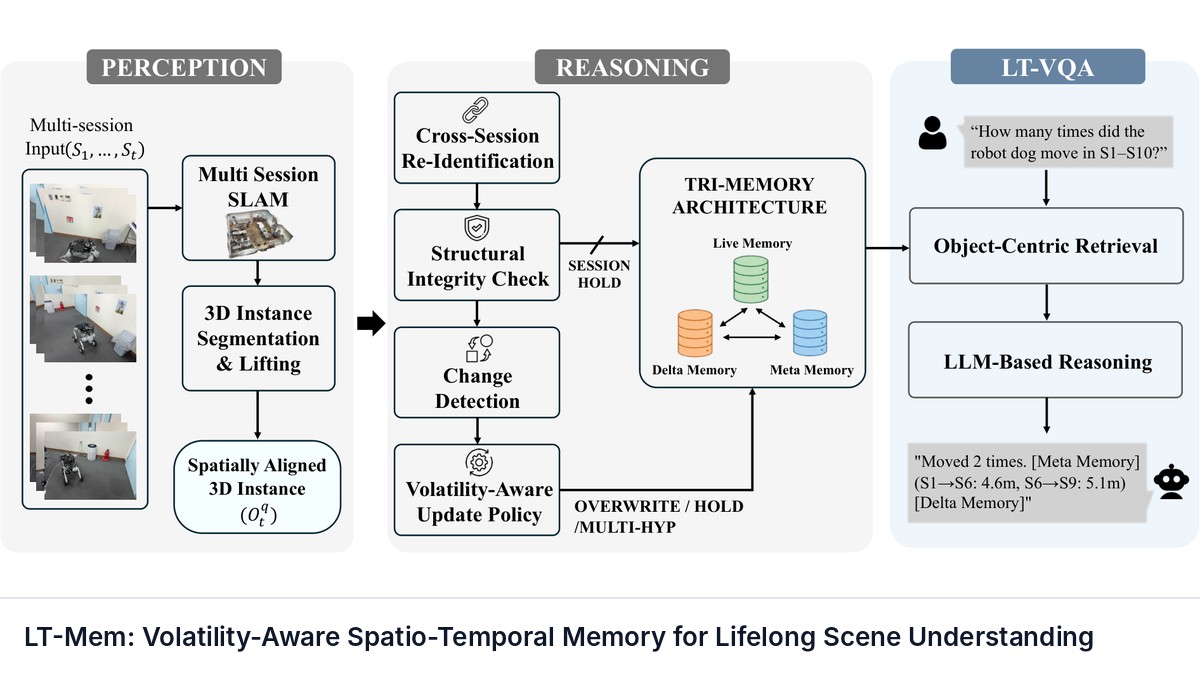
LT-Mem: Volatility-Aware Spatio-Temporal Memory for Lifelong Scene Understanding
Lee, Yumin, Ju, Hyoseok, Kim, Giseop
Long-term robot operation in evolving environments requires object-level understanding that persists across repeated revisits.